Backwoods
Aerial Assessment
A drone pass over the property before the estimate — so the first conversation is about what actually needs to happen, not what we guessed from the driveway.
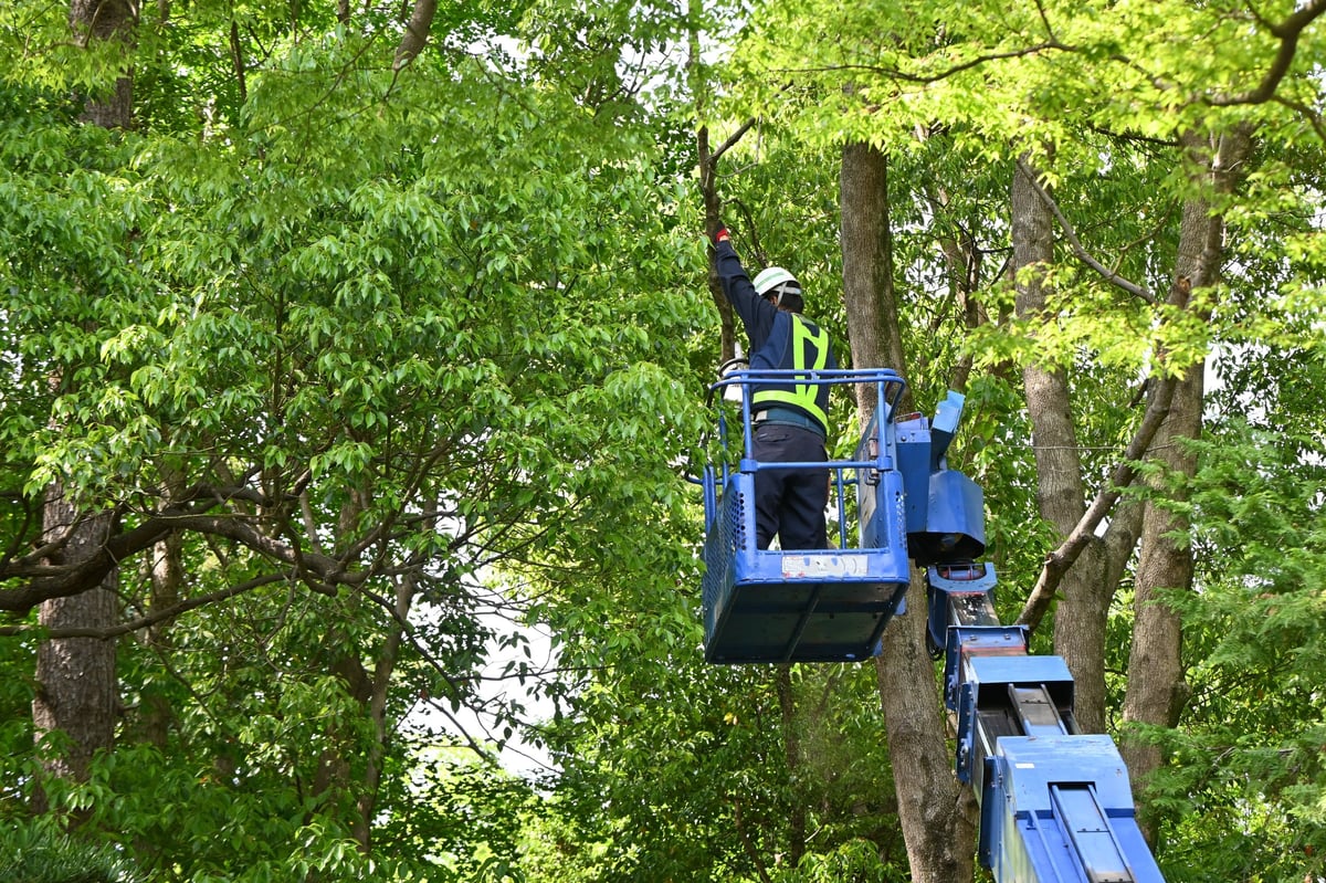
Tree identification & hazard review
Spotting dead tops, split leaders, and leaning trees across the whole lot instead of one close-up.
Access & equipment routes
Seeing where a truck, lift, or chipper can actually get in before anyone drives out.
Structures & obstacles
Homes, outbuildings, fences, power lines and overhead lines that change the plan.
Scope evaluation
Aerial imagery that shows the size of the job so the estimate reflects the real work.
More informed estimates, not bigger claims.
A drone gives us a better view. It doesn't cut the tree. We still walk the property and look at the work up close before we quote it.
Drone imagery supports estimate preparation only. It does not establish or prove legal property boundaries, and it does not replace an on-site inspection.